

Portages
During the period when water routes were the primary means of long-distance travel, portages were important landscape features. Boats and their cargo were carried along these overland paths in order to bypass obstacles, or to shorten the journey between two navigable bodies of water.
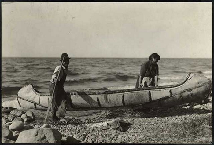
Couple with a Canoe, circa 1920 (Minnesota Historical Society, used with permission)
1. Minnesota Point Portages. Onigamiinsing (Little Portage), the Ojibwe name for the Duluth area, refers to the short crossing over Minnesota Point from Lake Superior to the bay. R. E. Carey’s map of 1865 Duluth shows a small portage located north of Buchanan Street in present day Canal Park and a large portage where the ship canal was later cut through the point. The “large portage” was lined with poles “so as to slide canoes, bateaux, and boats across by keeping them on an even keel.” (Carey 1931:4)
2. Grassy Point Portage. A portage across the neck of Grassy Point is shown on the original 1857 land survey map of the Duluth area.
3. Rice’s Point Portage. A portage across the neck of Rice’s Point appears on R. E. Carey’s map of 1865 Duluth. (Carey 1931)
4. Grand Portage of the St. Louis River. Starting two miles up the St. Louis River from the Fond du Lac fur post, this seven-mile long portage bypassed the rapids and falls of the St. Louis River gorge. Long portages were divided into increments of one-third to one-half mile by pauses, or resting places, between each section. Owing to its length and difficulty, there were nineteen pauses along the Grand Portage of the St. Louis River.
Copyright © 2022. All rights reserved.